4. (c) Water-scarcity is an important cause of disputes and conflicts in India. Suggest innovative methods for location-based solutions. 15Marks (PYQ/2024)
Answer:
Introduction
Water scarcity is one of the most daunting challenges in India, leading to disputes and conflicts among states and communities. Rapid population growth, climate change, uneven rainfall, and over-extraction of groundwater exacerbate the problem. To address these issues efficiently, location-based solutions using advanced locational analysis models and quantitative analysis are required. Such solutions involve integrating multiple dimensions—including political, economic, and environmental factors—to deliver sustainable outcomes.

Models
Locational Analysis Models
- GIS-Based Locational Analysis: Using Geographic Information Systems (GIS), experts can map water stress zones by incorporating satellite imagery, hydrological data, and climatic variables. This helps identify priority areas for conservation and intervention.
- Spatial Diffusion Models: These models illustrate how water scarcity spreads from core high-demand areas to adjacent regions. The Water Stress Index is a quantitative tool used to measure per capita water availability; for instance, NITI Aayog projects that per capita water availability in India could drop below 1,400 cubic meters by 2025. Source: NITI Aayog Composite Water Management Index (CWMI, 2024).
Theories
Key Theoretical Perspectives
- Tragedy of the Commons (Garrett Hardin): This theory explains how individual overuse of common water resources—without adequate regulation—leads to depletion. Overexploitation of groundwater is a classic example.
- Political Ecology (Rob Nixon): Emphasizes that water scarcity is shaped not only by natural processes but also by political and economic factors, such as inequitable resource allocation and power imbalances.
- Water-Energy-Food Nexus (Headey & Izac): Highlights the interdependencies between water, energy, and food systems, suggesting that innovative solutions require an integrated management strategy that addresses local resource availability and demand pressures.
Laws
Relevant Legal Frameworks
- National Water Policy (2012): Aims to ensure sustainable, equitable, and efficient water use across all sectors. However, it faces implementation challenges due to outdated water allocation data.
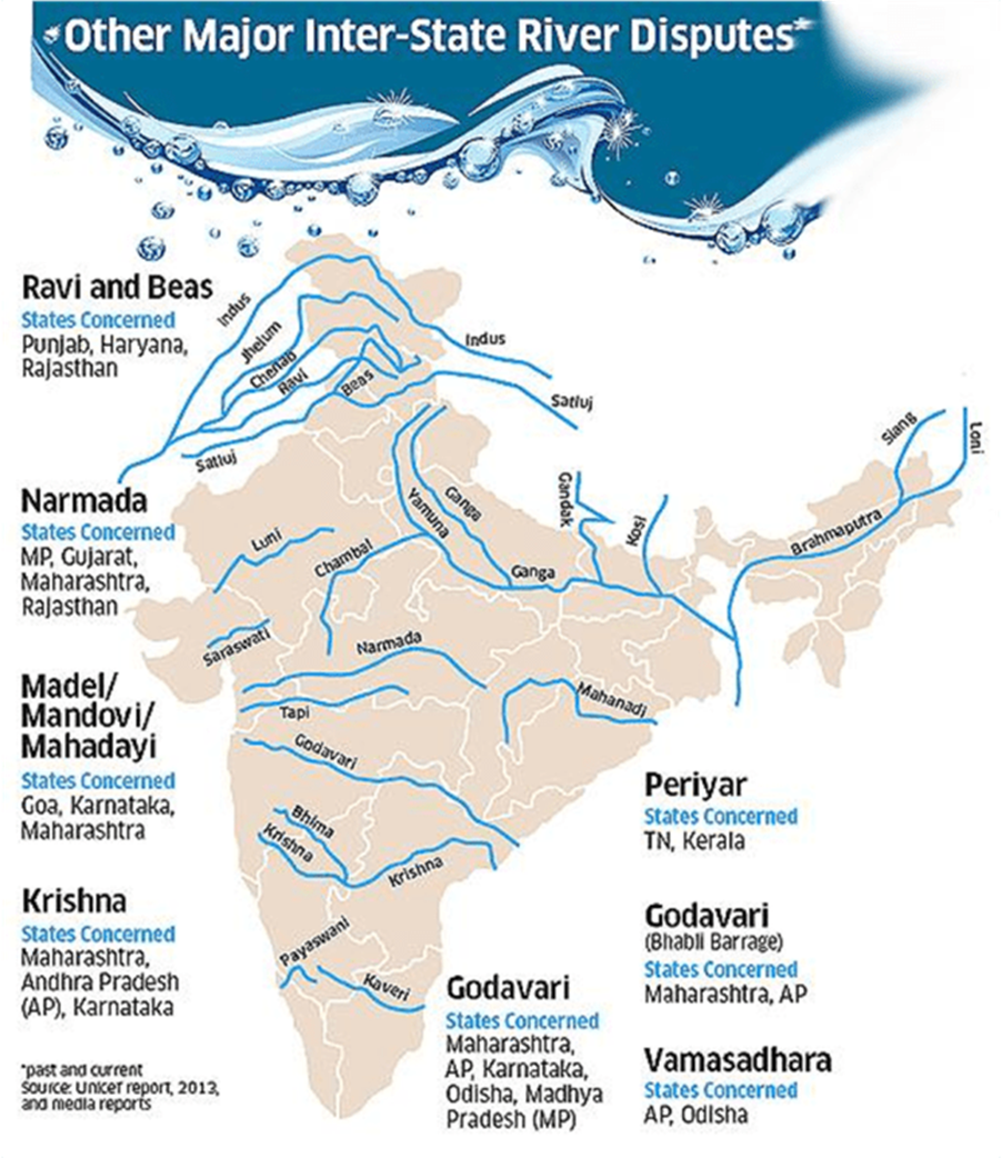
- Inter-State River Water Disputes Act (1956): Provides the legal mechanism to resolve disputes between states over shared water resources. Despite its existence, many disputes persist due to dynamic water demands and climate variability. Source: Ministry of Jal Shakti, Government of India.
Perspectives
Integrated Development Approaches
- Sustainable Development Perspective (Brundtland Commission): Stresses that water management must meet the needs of the present without compromising future resources. This underlines the need for localized rainwater harvesting and micro-level watershed management.
- Empowerment Triangle (Adapted from Amartya Sen’s Capability Approach): Emphasizes the alignment of government action, market opportunities, and community participation to effectively manage water resources. Robust local initiatives, informed by quantitative analysis and stakeholder engagement, can bridge gaps in resource distribution.
Case Studies
Case Study 1: Cauvery Water Dispute (Karnataka vs. Tamil Nadu)
- Context: Over 35 million people depend on the Cauvery River for irrigation and domestic use.
- Issue: Disputes arise over uneven water allocation, particularly during periods of drought.
- Solution: Satellite-based locational analysis has been used to monitor rainfall patterns and river flows, though existing data is often outdated. Source: Cauvery Water Disputes Tribunal Reports; Economic Survey of India (2023).
Case Study 2: Chennai Water Crisis (Tamil Nadu)
- Context: In 2019, Chennai faced an acute water crisis with per capita water availability dropping drastically.
- Issue: Heavy reliance on groundwater extraction led to critically low water levels.
- Solution: Innovative methods, such as GIS mapping to identify optimum sites for rainwater harvesting and artificial recharge, have been piloted to reduce future risks. Source: NITI Aayog Reports; Central Water Commission (CWC), Government of India.
Conclusion
Addressing water scarcity in India calls for innovative, location-based solutions that integrate advanced locational analysis models, quantitative assessments, and interdisciplinary theories. By applying frameworks like the Spatial Diffusion Model and Tragedy of the Commons, along with supportive legal frameworks and empowerment perspectives, policymakers can better manage water resources. The Cauvery dispute and Chennai crisis illustrate the critical need for such integrative approaches to mitigate water conflicts and foster sustainable water management across India.
Tag:Geography Case Study, Geography Optional, geography optional case study, Geography Optional Pyq, geography optional pyq 2024, human geography, Indian Geography, location based solutions, location based solutions for water scarcity, location-based solutions for water scarcity, models theories laws and perspective in geography, river disputes in india, water disputes in india, water scarcity, water-scarcity